Date: 2018–19 Promoter: Olesa de Montserrat City Council Planning Team: RGA and MasMaristany Collaborators: Alan Latre
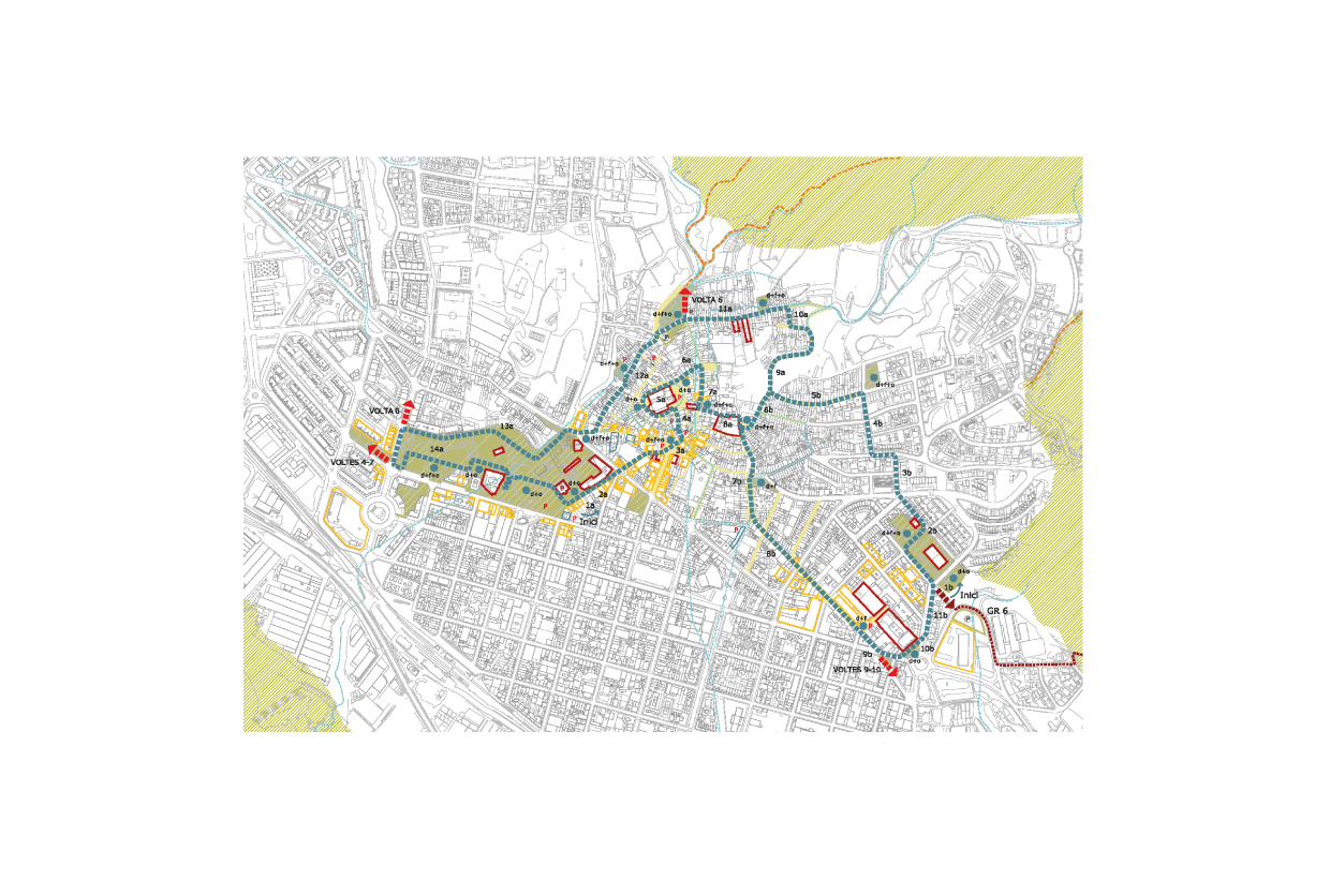
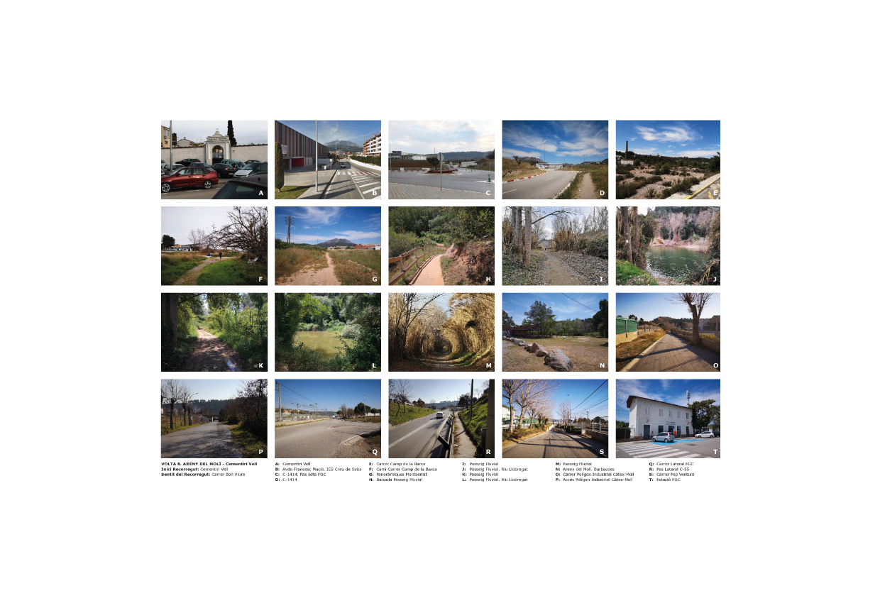
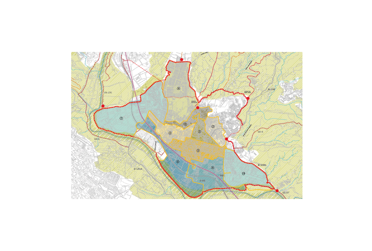
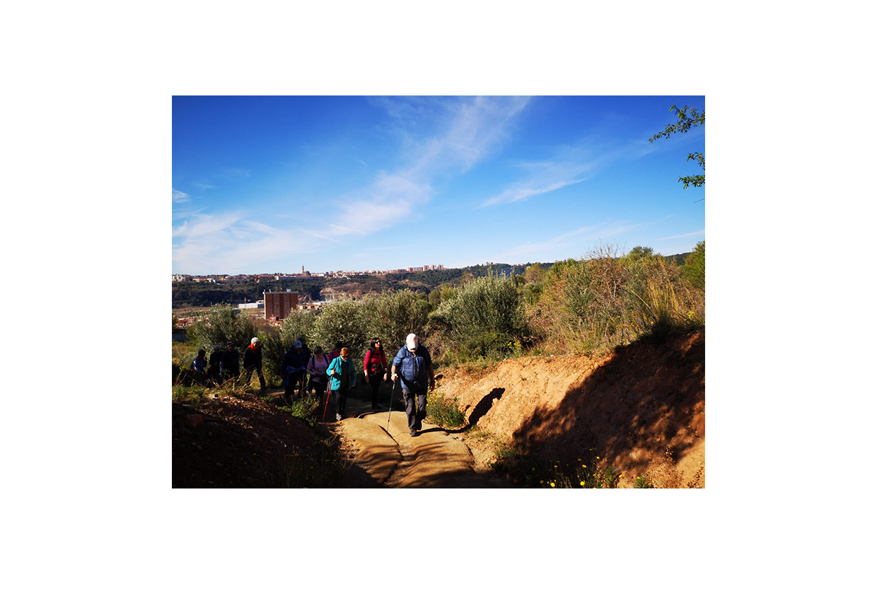
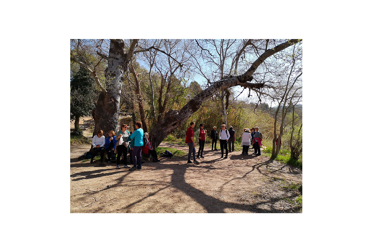
A system of interconnected routes is proposed, defined by a green ring. This ring runs along and surrounds the urban fabric of Olesa de Montserrat, marking the boundary between the city—made up of its streets and buildings—and the natural space in its immediate surroundings. The ring connects the urban grid with the network of paths through certain points that act as gateways. Working with a network-based model, built on connected routes, allows for optimal use of resources and the ability to expand or adjust itineraries to suit users’ preferences.